

Location: United States
Member Since:
Feb. 08, 2013
Charles Brigham
Publisher info
Prior to joining ESRI, Charles worked as Knowledge and Technology Lead for the World Bank’s PNPM Mandiri Support Facility in Indonesia. Charles has focused on Social Accountability and Open Data in Indonesia and within the Bank, extending these to empower Indonesian village communities to participate in the planning process, project implementation with the overall goal to accelerate poverty reduction and enhance sustainability of community investments. Charles came to Indonesia from the World Bank Headquarters, where he worked for the World Bank Institute, Innovation Practice as a Geographer. He was part of the core team who designed and launched in October 2010 Mapping for Results platform to visualize the location of World Bank projects to enhance Bank’s ability to monitor and evaluate them, and to increase social accountability.
Charles’ expertise is in the areas of International Development, Census and Statistics, Geospatial Infrastructure, ICT Innovations, Imagery Analysis, and Humanitarian affairs. Prior to joining the World Bank, Charles worked for the United Nations, NASA, CARICOM, as well as a number of countries in Central America, Africa and Asia. Charles has a Master’s degree in Geography, with emphasis in Resource Management and Environmental Planning from San Francisco State University.
Charles’ expertise is in the areas of International Development, Census and Statistics, Geospatial Infrastructure, ICT Innovations, Imagery Analysis, and Humanitarian affairs. Prior to joining the World Bank, Charles worked for the United Nations, NASA, CARICOM, as well as a number of countries in Central America, Africa and Asia. Charles has a Master’s degree in Geography, with emphasis in Resource Management and Environmental Planning from San Francisco State University.
Where to find Charles Brigham online
Where to buy in print

Mudpies and Silicon
by kristin brigham
Price:
$4.99 USD.
Words: 5,950.
Language:
English.
Published: February 23, 2018
by
Charles Brigham.
Categories:
Nonfiction » Children's Books » Science & Nature / Experiments & Projects, Nonfiction » Art, Architecture, Photography » Art - how to » Drawing
This is a book of basic crystalline atomic structures plus a few scientific building blocks – light, dimensions, graph paper, axes, scientific notation, distance, electrons, photons, atoms, protons, neutrons, wavelength, and frequency. It is for children from very young to any age. The purpose is dual.
Books
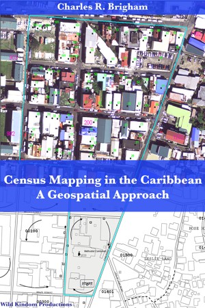
Census Mapping in the Caribbean - A Geospatial Approach
by Charles Brigham
Price:
$3.99 USD.
Words: 45,150.
Language:
English.
Published: February 18, 2013
.
Categories:
Nonfiction » Social Science » Demography
The book captures work done in preparation of the 2010 World Census in the Caribbean Community member states. I conducted 19 Geographic Information System technical evaluation and assistance missions to develop tools to execute the Census in an accurate, cost efficient & timely manner. The book outlines challenges in each country and describes methods used for enhancing their capacities.
Charles Brigham's tag cloud
anguilla
antigua and barbuda
atomic model
bahamas
barbados
bermuda
british virgin islands
caribbean
caricom
cayman islands
census
demography
development
dominica
geographic information systems
geography
geospatial
gis
grenada
guyana
jamaica
kids
mapping
science
science art
st kitts and nevis
st lucia
st vincent
statistics
suriname
tobago
trinidad
workbook
Charles Brigham's favorite authors on Smashwords